Mt. Ryugatake Hike near Lake Motosu | Best Mt. Fuji View Trek


- Explore around the Mt. Fuji area
- Led in English by a local Japanese
- Details Here
Hi, it’s Daichi from KOKO Journey!
If you are looking for the ultimate, crowd-free view of Mt. Fuji, I’ve just found the greatest spot. Today, I hiked Ryugatake Mountain(竜ヶ岳/ Mt. Ryugatake), located right next to Lake Motosu (one of the famous Fuji Five Lakes), and it completely blew me away.
Here is why this mountain needs to be on your Japan itinerary—before the rest of the world finds out about it!
@kokojourney3776 Ryugatake Mountain Trekking Didn’t see even a single international tourist on the trail today. As most of the signs are only in Japanese here, Ryugatake still feels untouched by international tourism. A quiet local hiking spot with peaceful trails and one of the best Mt. Fuji views around the Fuji Five Lakes area. Honestly feels like a hidden spot that the world hasn’t discovered yet. For private tours around Mt.Fuji, visit kokojourney.com #ryugatake #mtfuji #fujiviews #japantrekking #kokojourney ♬ 散歩道 – JUDY AND MARY
Mind-Blowing Views of Mt. Fuji
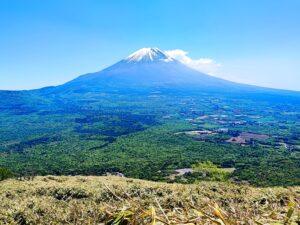
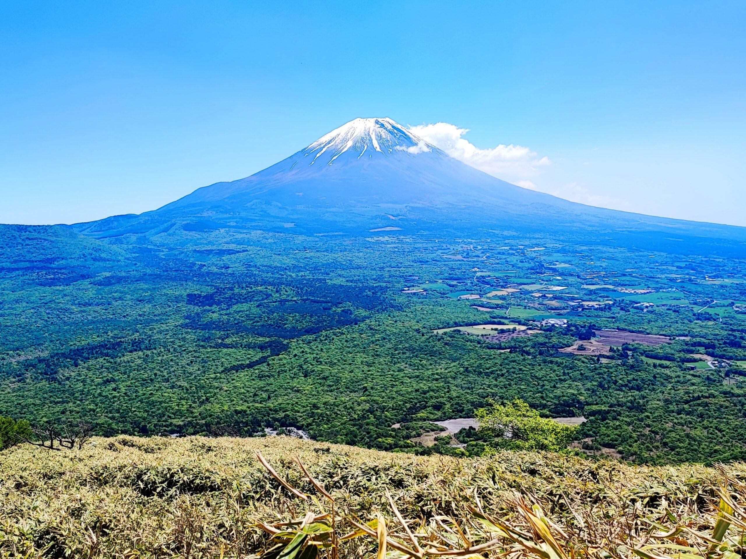
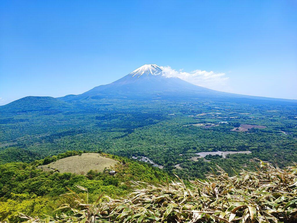
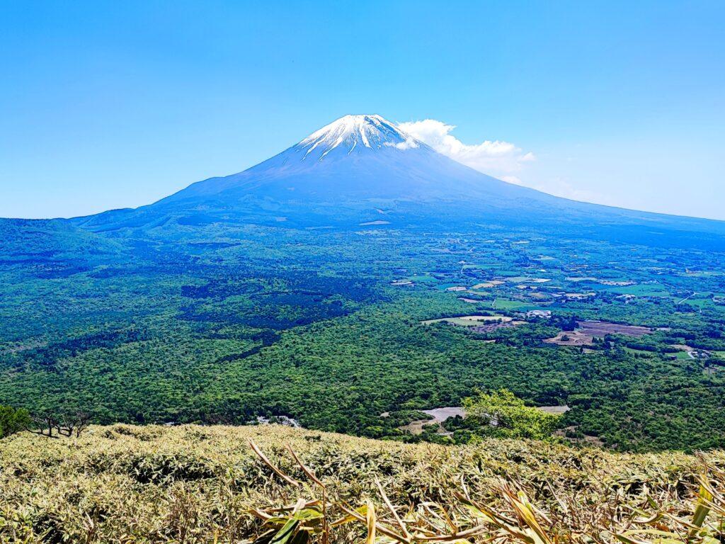
Let’s start with the best part: the scenery. Unlike the heavily congested viewing spots in Kawaguchiko or Hakone, Mt. Ryugatake offers a completely unobstructed, panoramic view of Mt. Fuji.
As you walk along the open mountain ridge, Mt.Fuji stands right in front of you, looking absolutely massive and majestic. The contrast between the deep green of forest and the towering mountain is something you have to see to believe.
A True Local (Zero Tourists!)
Here is the wow part of my day: I did not run into a single foreign tourist during the entire hike.
Why has this place stayed so quiet? The secret lies in the lack of English infrastructure.
Almost all the signs on the trail are exclusively in Japanese. Because it hasn’t been fully globalized yet, it remains a total gatekept secret for local hikers. If you want an authentic, peaceful trekking experience without the crowds, this is the place.
Quick Kanji Sheet: Screenshot or Save This:)
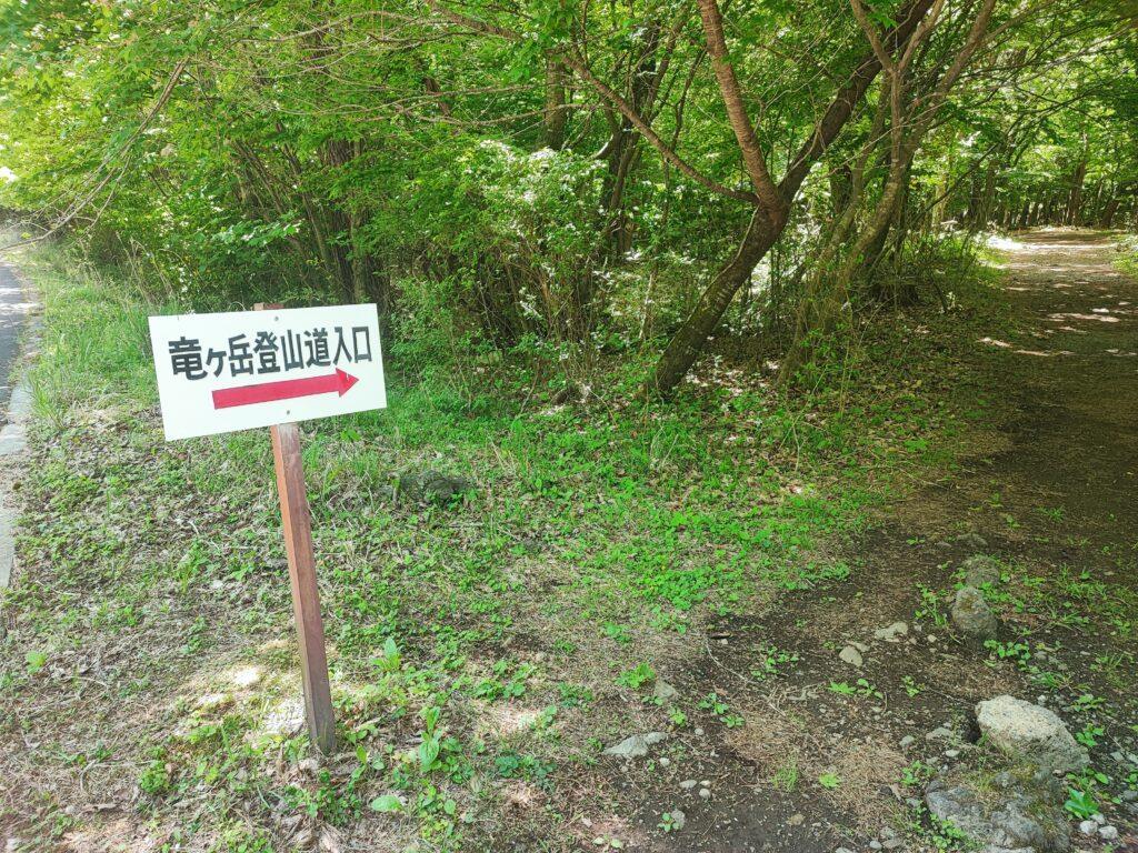

Since the trail signs are almost entirely in Japanese, navigating can be a bit tricky.
To make your hike much smoother and safer, I highly recommend taking a screenshot or making a quick note of these basic Kanji characters of Ryugatake before you go. It will help you make the right decisions at trail forks:
- 竜ヶ岳 (Ryugatake): The name of the mountain. Follow these signs to stay on the right path!
- 登山道入口 (Tozandou Iriguchi): Trailhead / Mountain Entrance.
- 山頂 (Sanchō): Summit / Peak. This is your final destination.
- 本栖湖 (Motosuko): Lake Motosu.
Mt. Ryugatake: Fast Facts
To help you plan your trek, here is the essential data on the mountain.
- Elevation: 1,485 meters
- Elevation Gain: Around 600 meters from the trailhead
- Duration: Approximately 3 hours for a round trip
- Difficulty: Moderate. It is a steady uphill climb but very well-maintained and beginner-friendly.
Ryugatake Access
Public transportation to this specific trailhead is limited. You pretty much must rent a car or take a taxi to get here.
Where to start: Set your GPS to the Lake Motosu Campsite (本栖湖キャンプ場). There is a parking lot there, and the trailhead is just a short walk from the campsite.
18 Motosu, Fujikawaguchiko-machi, Minamitsuru-gun, Yamanashi 401-0337, Japan
New articles
-
 Basashi: Why Landlocked Mountain Country Ended Up Eating Raw Horse (Blame the Pilgrims)
 -
Mount Fuji Has Its Own Secret Bear Population — And Scientists Are Still Figuring It Out
-
Why Is the Weather Around Mt. Fuji So Unpredictable in August? Kawaguchiko Weather
-
The Hoto Noodle That Warlords Definitely Didn’t Invent (But Everyone Believes They Did)
-
Yoshida Himatsuri Fire Festival/Ceremony: Why You Should Visit Mt Fuji’s Fujiyoshida This Week | Aug 26 and 27, 2026